Know the fishing window.
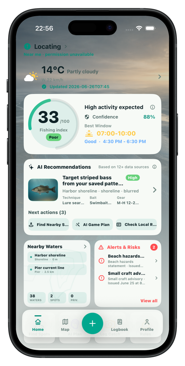
Wavik combines 7-day forecast, hourly conditions, wind, pressure, sunrise, sunset, tide and marine context where available, then turns raw weather into a practical trip signal.
 Wavik Get support
 Fishing index, water map, AI plan, private review
Weather data, map data, nearby waters, and AI fishing plans in one privacy-first mobile app for anglers planning around real conditions.
Find the window. Choose the water. Keep exact spots private.
Built around trip planning first.
Weather data Map data Nearby waters AI fishing plan Private logbook Future expansionMain functions
Wavik combines 7-day forecast, hourly conditions, wind, pressure, sunrise, sunset, tide and marine context where available, then turns raw weather into a practical trip signal.
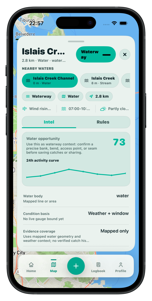
Map context connects waters, spots, distance, public and private location layers, provider readiness, and water-specific planning so each recommendation starts from a real place.
Nearby water discovery helps anglers browse local water systems, keep favorite waters close, and protect private coordinates when saving personal spots or catch logs.
The AI trip plan uses target species, method, time window, water context, weather, tide, risk and history to suggest where to start, what to try first, and what uncertainty remains.
Weather and water intelligence
A good fishing app should answer more than whether it is sunny. Wavik brings weather, tide, water, risk and target context into one planning flow.
Map and nearby waters
The product separates public water discovery from owner-only spots and logs, so planning can be useful without turning every catch into public location data.

Future expansion
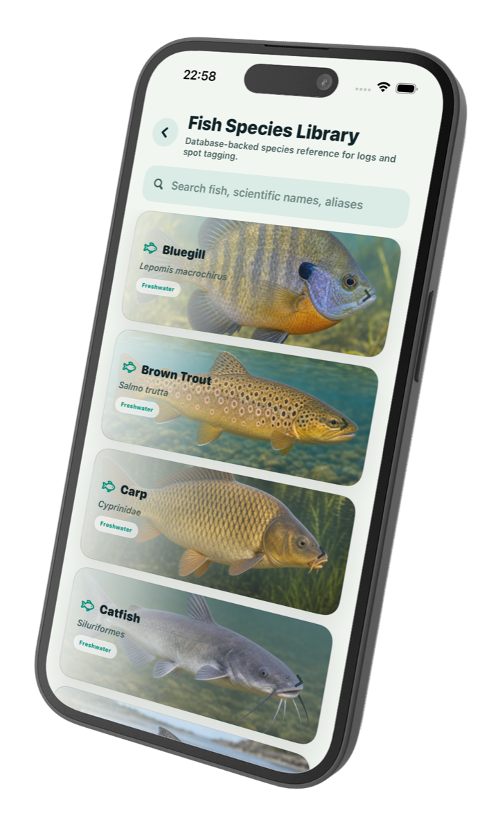
Species references, patterns, logs, and AI review can grow into one personal fishing memory while keeping the main trip workflow simple.
The product loop
Start with forecast, tide, wind, pressure, daylight, water coverage, and confidence before deciding whether the trip is worth it.
Use map data and nearby water systems to compare waters, save favorites, and keep exact private coordinates off public surfaces.
Ask for an AI fishing plan based on weather, water, target species, method, trip window, risk, and local context.
Keep compliance and caution states visible before turning guidance into action, especially when fishing unfamiliar water.
Record catches or blank sessions privately, then review how weather, water, bait, and timing affected the result.
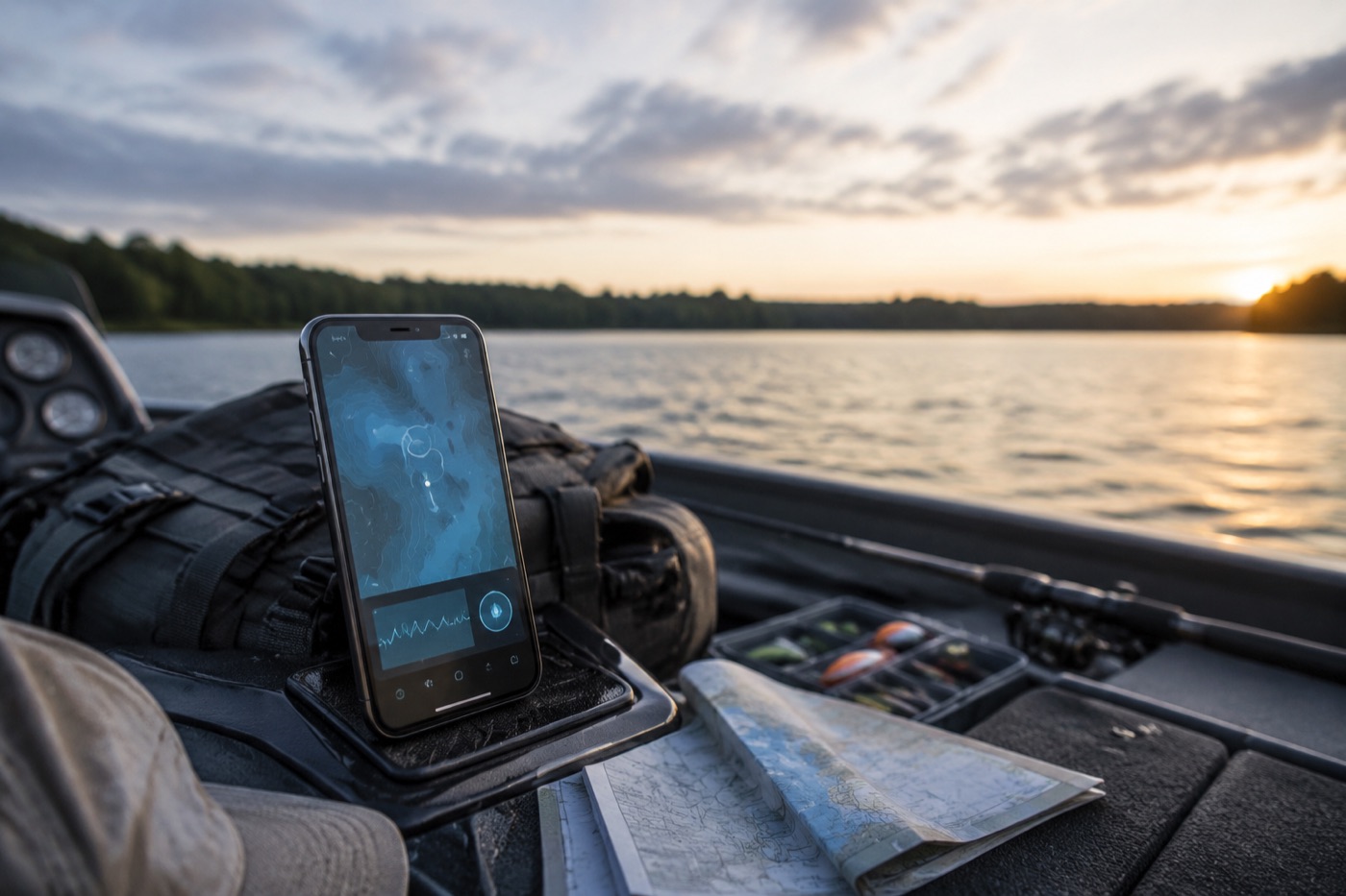
Designed around trust
Wavik treats private catches, private waters, media, notes, and precise coordinates as sensitive by default. Public surfaces use blurred or region-level location unless a user deliberately chooses otherwise.
Available where anglers are
Native app shell, secure session storage, Mapbox readiness, and screenshot regression workflow.
Kotlin Multiplatform shared state, encrypted session storage, live API smoke flows, and map SDK guards.
Shared product semantics, Huawei Map Kit path, localized UI, and remote device validation.
Who it is built for
Check the next window, compare nearby lakes or rivers, save a plan, and record what conditions produced a catch or blank.
Keep target species, method, setup, lure or bait notes, and spot strategy connected to real weather and water context.
Use tide, wave, wind, marine status, compliance notes, and blocked/warning/caution states before committing to a plan.
Product capabilities
Expand weather, tide, marine and water-system coverage so global anglers can plan with more local context.
Add deeper water insights, saved water profiles, favorites, private spots, and provider readiness while keeping sensitive location data protected.
Extend AI from trip planning into post-trip review, gear and bait suggestions, pattern diagnosis, and multi-day planning.
Build private review signals across months, species, water type, method, bait, weather performance, blank-session hints, and saved plans.
FAQ
No. The core product is a private planning, map, catch-log, and review workflow. Sharing can exist later, but precise locations stay protected by default.
It should not. AI guidance is constrained to source notes, weather, tides, water or spot context, risk states, user preferences, and conservative disclaimers.
Private spots, exact coordinates, raw private notes, media storage keys, owner-only reviews, and sensitive catch-log details are not exposed through public surfaces.
Support
Get help with login, location permissions, private catch logs, AI planning, subscriptions, account deletion, or another issue.